
宇宙利用拡大推進事業
宇宙利用拡大推進事業
城ヶ島でのSentinel-2、みちびき、UAVによる同期観測
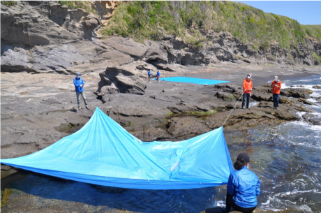
2021年4月22日(木)、城ヶ島においてSentinel-2、みちびき、UAVによる同期観測を行いました。この観測では、沿岸部におけるプラスチックシート、プラスチックごみなどがどのように衛星やUAVから観測できるかを検証しました。さらに、みちびきを用いて対象物の正確な位置座標(誤差3cm以内)を特定することにより、より精度の高い衛星データ解析が期待できます。
Sync. Observation Result: Google Earth (Left) and Result (Right). Sentinel-2 observed the plastic sheets violet dots on the coastal area. Pink points were 4 corners of the plastic sheet (10 m X 10 m). Misalignment was occurred on Sentinel-2 image. A yellow line was a track with QZSS reciever.
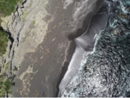
海上にビニールシートを張って衛星からどのように海上のプラスチックが観測できるかを検証しました。
今回の実験結果は、UNESCAPのClosing the Loopで開発しているデジタルツールに活用されるほか、BlueCARES (SATREPSプロジェクト)での沿岸マッピング手法の確立などに活用していく予定です。
-
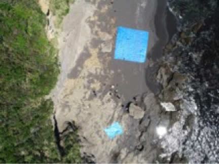
- Plastic Sheets Observed by UAV
-
- Seaweed Observed by UAV
-
- Wastes Observed by UAV
-
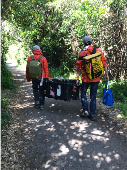
- Way to Site
-
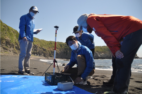
- Positioning by Michibiki
-
- Preparation
-
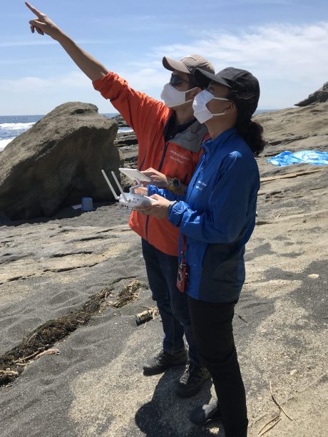
- UAV Operation
-
- Site
-
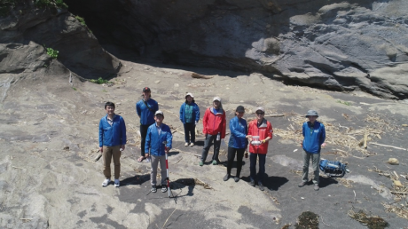
- Group Photot
タグ
- Kizuna
- Utah
- Exhibit
- Conference
- InnovativeAsia
- Geology
- Eritrea
- ABEInitiative
- Malaysia
- Internship
- GeoPollutution
- MedicalGeology
- UrbanGeology
- KualaLumpur
- Surabaya
- DaNang
- NakhonSiThammarat
- UNESCAP
- GDSS
- FIELDNAUT
- SmallSat
- USA
- SpaceIndustry
- CuttingEdgeTech
- JapanBooth
- PlasticWaste
- Worldwide
- MobileApp
- SystemIntegration
- Japan
- Indonesia
- ASEAN
- Zambia